


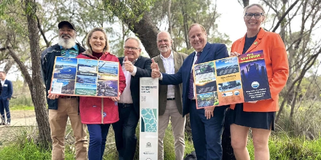
New interpretive signage spanning from Mandurah to Lake Clifton and out to Pinjarra and Waroona is set to shine a spotlight on the many natural and cultural attractions across the region.
The Peel Geotrail Drive allows visitors to scan a QR code and learn more about the geological, natural and cultural highlights of the area.
There are 12 sites of interest along the geotrail, including the largest thrombolites in the southern hemisphere at Yalgorup National Park, in Lake Clifton
The geotrail is the first of its kind in the region and can be driven by vehicle in one day, or explored by bike or on foot over several days.
The Peel Geotrail map and interpretive signage were developed by Geoparks WA in partnership with local Bindjareb Elders.
The project was supported by $26,500 funding from the State Government, in collaboration with the Peel Development Commission, the Department of Biodiversity, Conservation and Attractions, surrounding local governments, Salt and Bush Eco Tours, Trails WA and Geological Survey of Western Australia.
Regional Development Minister Don Punch said the trail is expected to drive increased visitation to the region and provide local tourism operators and businesses a boost, while celebrating the indigenous culture and heritage of the area.
"It is through education about these sites that we can conserve them for both their geological and cultural heritage values," he said.
"It is a priority of the Cook Government to leverage WA's natural assets to drive regional tourism. Underpinning our approach to regional development is a focus on enhancing climate resilience, maintaining biodiversity, and environmentally sustainable development."
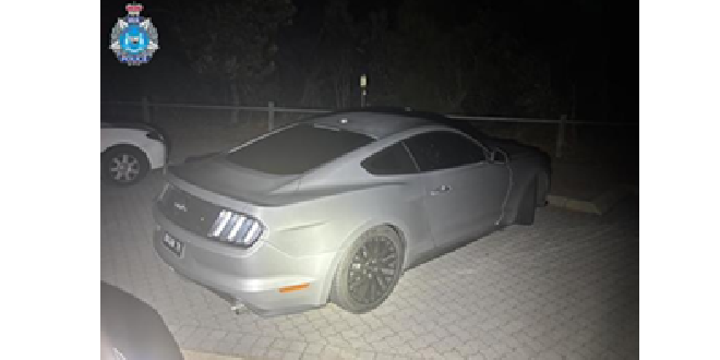 Stolen Ford Mustang linked to southern suburbs incidents
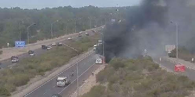 Baldivis: Truck fire forces closure of Kwinana Freeway
 Concerns for missing Baldivis girl
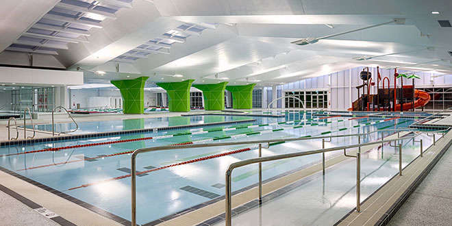 MARC leisure pool, pirate playground to close for several weeks due to maintenance works
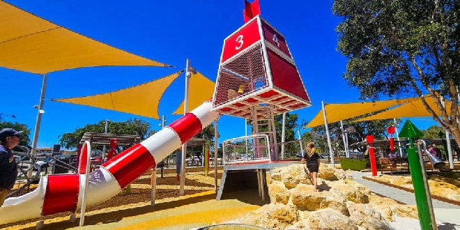 Petition launched to change new Eastern Foreshore playground due to safety concerns
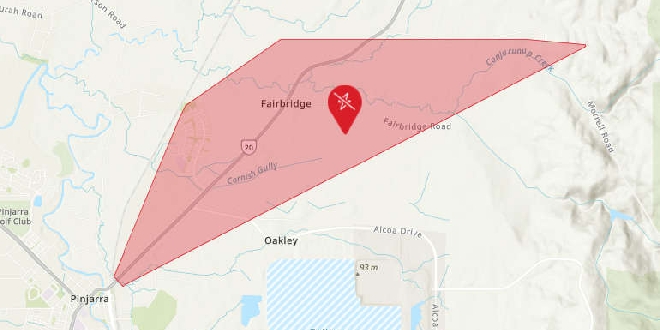 Parts of Pinjarra, Fairbridge without power
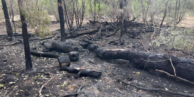 Bouvard scrub fire deemed suspicious
 Peel Thunder crush Perth in WAFLW season opener
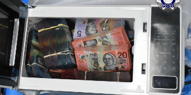 Baldivis man charged after AFP seize haul of cigarettes, vapes, $2.6M cash