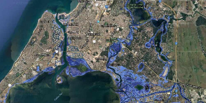
Several Western Australian suburbs including Mandurah could be at risk from rising sea-levels, according to new climate change projections.
Using new data from the National Oceanic and Atmospheric Administration (NOAA), mapping on the Coastal Risk Australia website shows many homes, streets and critical infrastructure could be underwater by 2100 if emissions remain at their current levels.
Scientists have predicted a two-metre rise in sea-levels by the end of the century, a substantially higher level than the 74-centimetre increase proposed in 2013.
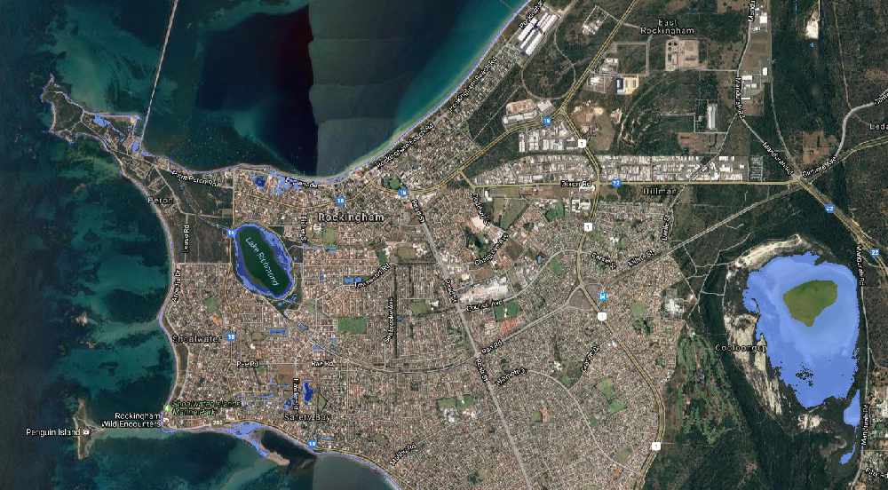
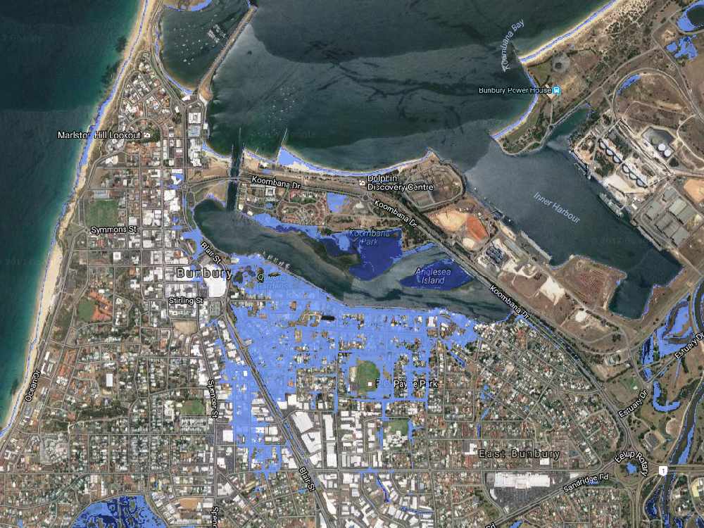
A report to be released today shows parts of Perth, Bunbury, Mandurah, Rockingham and Busselton will be some of the worst-affected parts of Australia in coming decades as sea-levels rise.
Coastal Risk Australia website co-creator, Nathan Eaton said more than 80 percent of Australians live near the coast, and it’s critical for everyone to appreciate what rising sea levels will mean for their communities and favourite places.
“Anyone can look at these maps and visualize exactly how sea-level rise, driven by climate change, will permanently alter our coastline and neighbourhoods," Mr Eaton said.
"We already knew this was going to be bad news for low-lying areas, but the latest science is telling us to brace for even worse."
Rockingham mayor and chairman of the Australian Coastal Councils Association Barry Sammels told The West Australian many people were still oblivious to the problems that would soon confront many beach and riverside communities.
“You’ve got some people who say it won’t affect me, it’s going to be a long time before this has an impact, but this is happening now,” Mr Sammels said.
“This could affect house prices, this could affect tourism.
“It’s much better to be prepared, to take precautions now, even if it doesn’t happen exactly as we think.”

Parts of Rockingham in blue could be at risk of rising sea-levels. PIC: Coastal Risk Australia
 Parts of Bunbury in blue could be at risk of rising sea-levels. PIC: Coastal Risk Australia


 Police issue 31,000 driving infringements in first month of new AI cameras
 Works underway on Rockingham and Safety Bay High School redevelopments
 New measles exposure sites revealed in Bunbury
 Dawesville man charged after allegedly leaving his elderly Great Dane to suffer painful conditions
 Good Samaritan sought by police after helping teen during robbery in Baldivis
 Under-16s social media ban now in force
 Desperate search continues for missing Bunbury FIFO worker
 Passengers now able to use credit, debit cards to tag on and off WA's public transport
 New floating jetty speeds up emergency response times for Marine Rescue Mandurah